Dodd Wood and Fell
Bench Overlooking Derwent Water Along Route
At just over 500-metres above sea level, Dodd Fell by Bassenthwaite Lake is certainly far from being one of the highest of the Lake District fells, but it is one of the highest that can be accessed by an all-terrain pushchair.
This waymarked walk up is steep, and two pairs of hands are definitely needed to lift any pushchair over some of the more uneven terrain. It is also not suitable for younger children to walk, as they will, no doubt, find the incline too strenuous. However, the views at the top across both Bassenthwaite Lake and Derwent Water are outstanding.
On a clear day, you can see right out to the Solway Coast and the summit is a delightful spot to picnic. You can even reward yourself at the end with a cake from the tea room located by the car park.
Quick Facts
Distance: 5 miles
Time: 3-4 hours
Terrain: Woodland trail at the start with uneven ground, followed by well-maintained track. Steep in parts.
Suitable For: Older Children, All-terrain pushchairs with two adults, Babies and Toddlers in Carriers
Parking: Pay and Display parking at the Forestry Commission Dodd Wood car park. OS Grid Ref NY 240 275. Postcode for Satnav is CA12 4QE. Coins are needed for the pay machines.
Facilities: The car park has a toilet block and there is a baby changing table in the disabled toilet. The Old Sawmill Tea Room serves a selection of drinks, snacks, and light meals.
The Start of the Walk
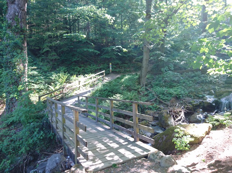
Wooden Bridge at the Start
Helpfully, the summit trail is marked by green way points, making this a fairly easy route to follow. Between the toilet block and the café, there is a path leading into the woods. Follow the green arrows across the bridge to your left, and turn left at the other side of the bridge.
Follow the Woodland Trail
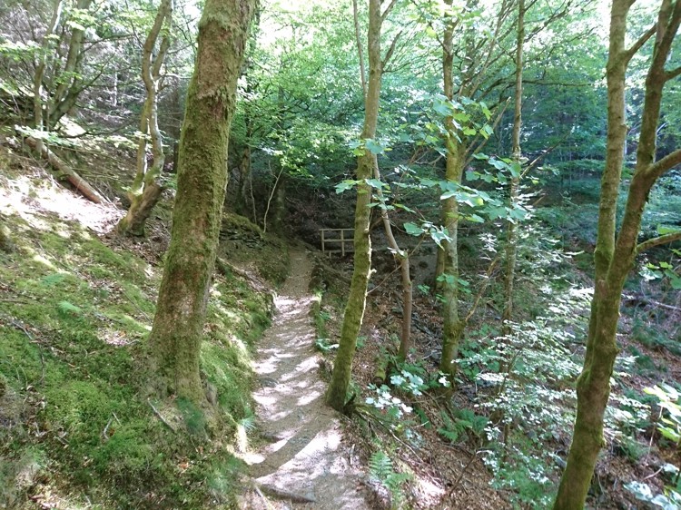
Woodland Trail with Bridge
Continue to follow the green arrows as they lead you up through the woodland on a trail. Numerous tree roots make using an all-terrain pushchair tricky at times and if your front wheel can be fixed in a locked position you may find it beneficial to do so for this section. The trail is very steep for the most part. Eventually, you will reach a narrow bridge. This can be crossed with an all-terrain pushchair by placing just one back wheel and the front wheel on the bridge, with you supporting the weight with the handle.
Dropping Down onto the Forest Track
The 'Step' Down To The Track
The waymarked woodland trail will eventually lead you onto one of the forest tracks used by Forestry Commission vehicles. The way down off the woodland trail is tricky for all-terrain pushchairs thanks to some fairly large tree roots creating steps in the path, therefore two people are needed to carry the pushchair down here. Once you are on the track, turn left, as indicated by the green arrows.
Following the Forest Track
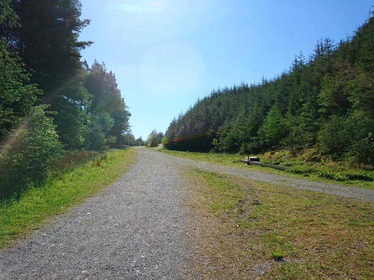
A Junction in the Track
After a steep section, the track becomes more level. Stay on the main track, passing a turning on the left and one on the right, and eventually, you will come to a junction where your track joins another. Veer left here.
A Fork in the Road
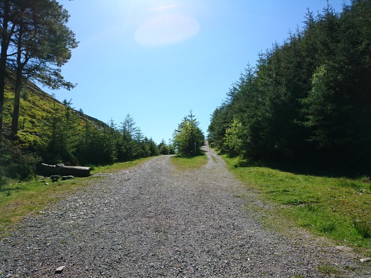
The Fork in the Road
After a very short distance you will reach a fork in the track. Take the right hand fork up the hill. Make sure you turn around at this point to catch a fleeting glimpse of Bassenthwaite Lake – just a hint of the view that awaits you.
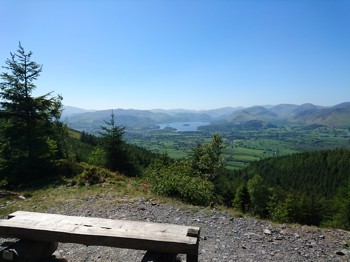
A Rest with a View
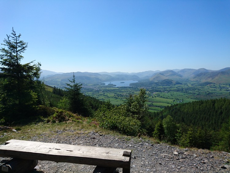
Bench Overlooking Derwent Water
Following this section of the track will lead you to a lookout point with a bench. From here you can see across Derwent Water and its surrounding fells, including Cat Bells. This is a perfect place to rest and have a snack, especially as you still have nearly 100-metres to ascend at this point.
The Track up to the Top
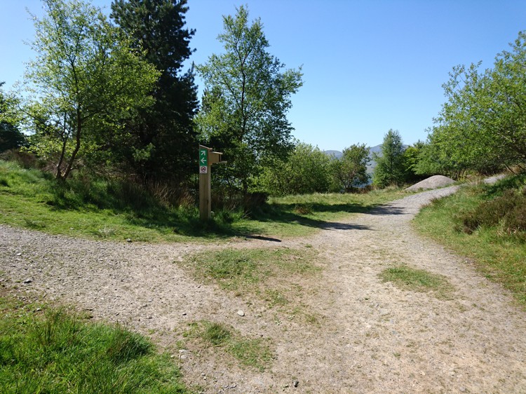
A Junction in the Track
Continue past the bench, and you will eventually reach another junction, marked with green arrows pointing left and right. Turning left here will lead you to another viewpoint with a bench. To carry on up the fell, take the right hand turn. This track winds around the fell summit and all-terrain pushchair users will find it tricky in places, particularly as there are patches of loose rocks and stones that make it very easy to slip.
The Summit Trig Point
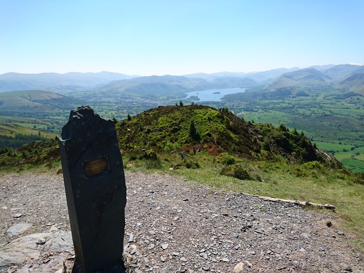
Trig Point Looking out toward Derwent Water
The summit is marked by a stone trig point with a memorial plaque. A vast swathe of Cumbria is visible from here, including the Helvellyn range, the Derwent Fells and Derwent Water, Keswick, Whinlatter Forest, Bassenthwaite, and out towards the west Cumbrian coast and the Solway.
View of Bassenthwaite Lake and Beyond
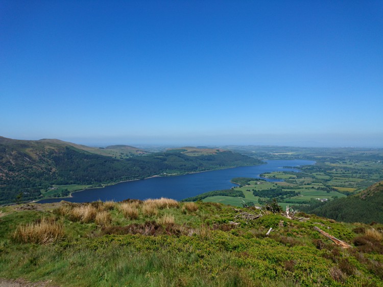
Bassenthwaite Lake
By following the path a little way past the trig point, you will be rewarded with a wider view of Bassenthwaite Lake and West Cumbria. On a clear day, the wind farm in the Solway is visible.
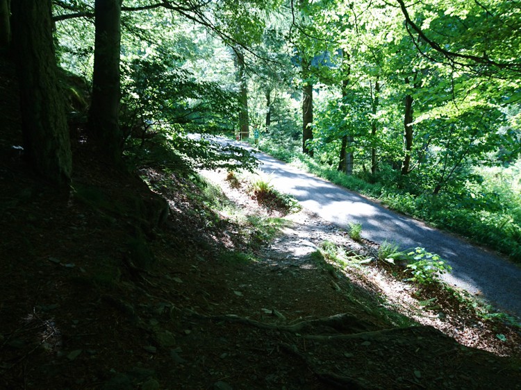
The Descent
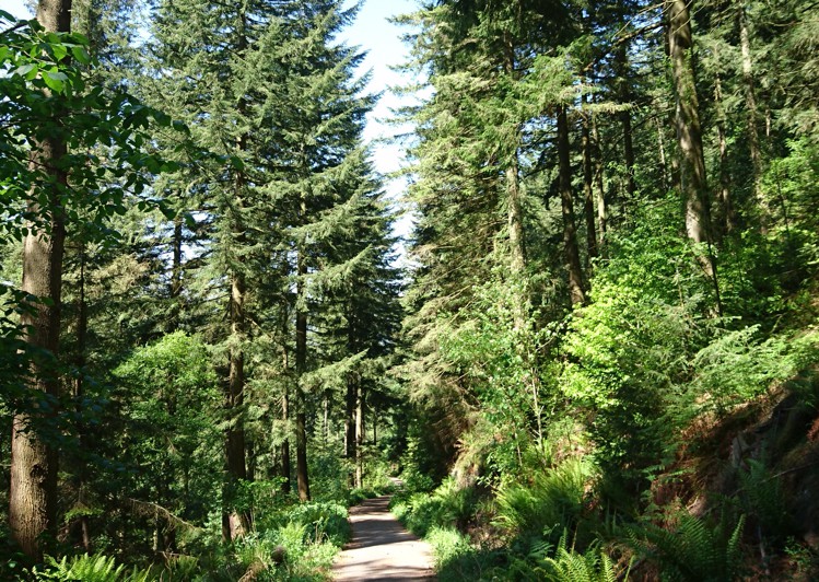
Douglas Firs
The descent follows much of the same route that you took up, but you can take a short cut and avoid the woodland trail that you took at the start, thus cutting out some of the trickier sections for all-terrain pushchairs. Follow the forest track down until the point that you would need to turn right and go over the large tree roots to re-join the woodland trail.
Instead of turning right, continue straight on down the track. It is very steep at this point so if you are using an all-terrain pushchair you may find it difficult to hold onto and the use of a safety strap to prevent the pushchair rolling away is advisable. You will eventually come to a turning on the left marked with a blue arrow. Take this turning. This will lead you on another shorter woodland trail through some ancient Douglas Firs. This path leads back to the car park. Again, it is uneven in places and difficult ground for an all-terrain pushchair.